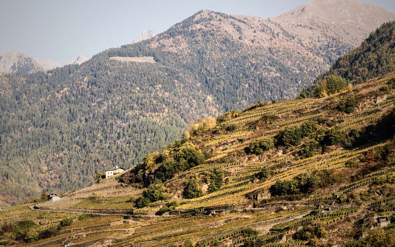
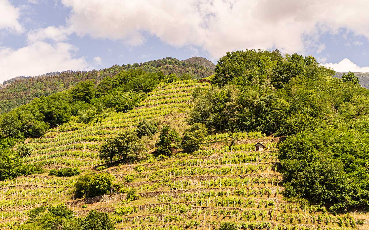
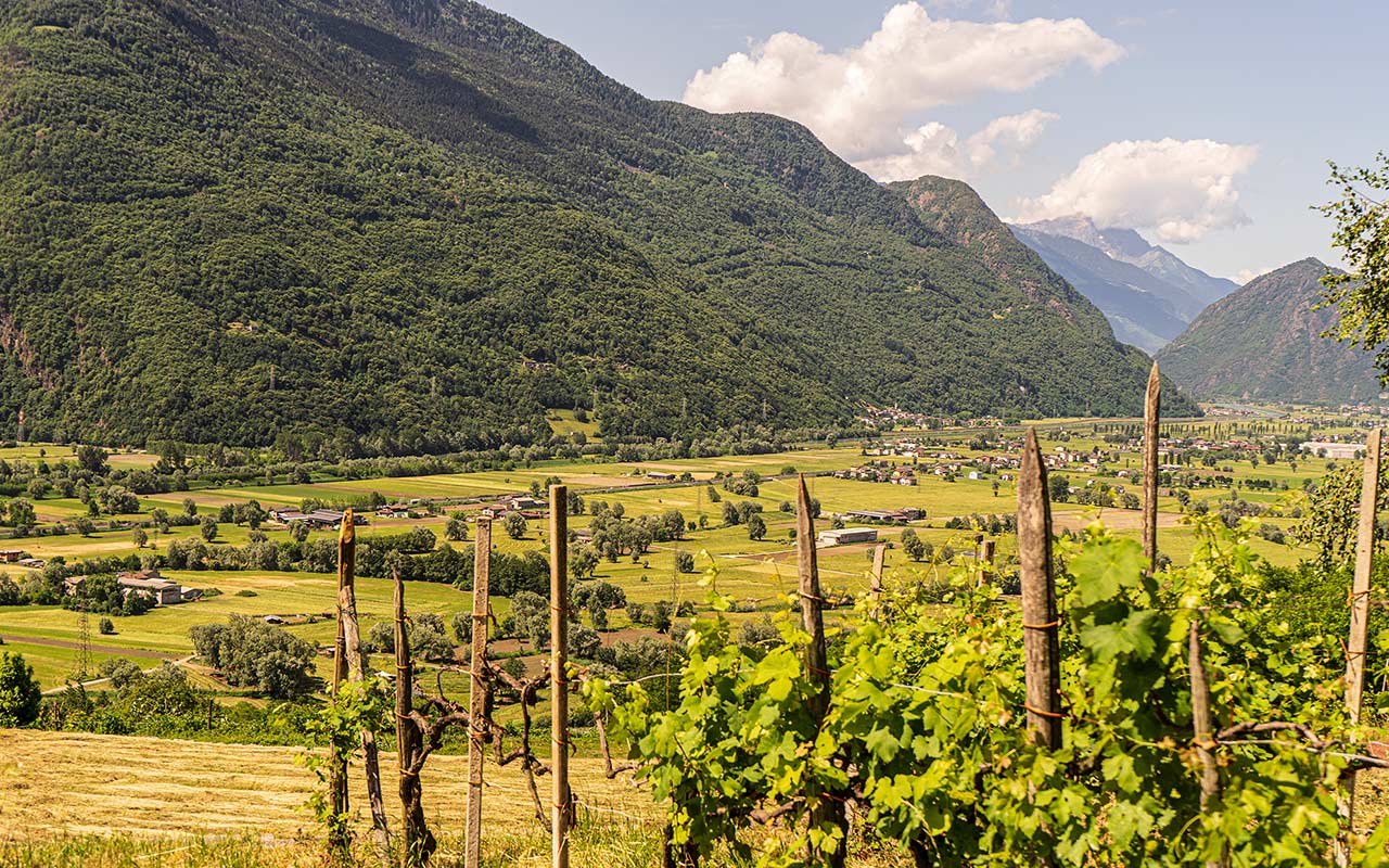
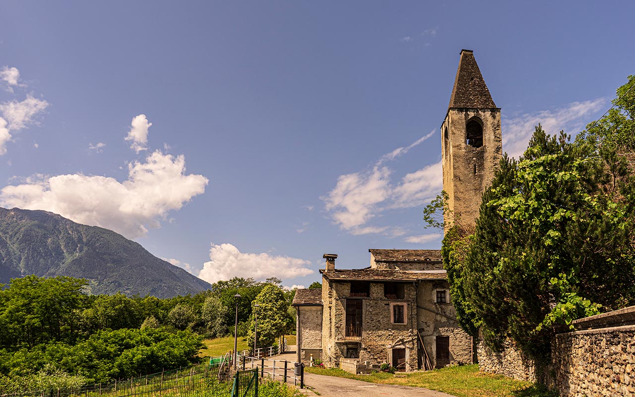
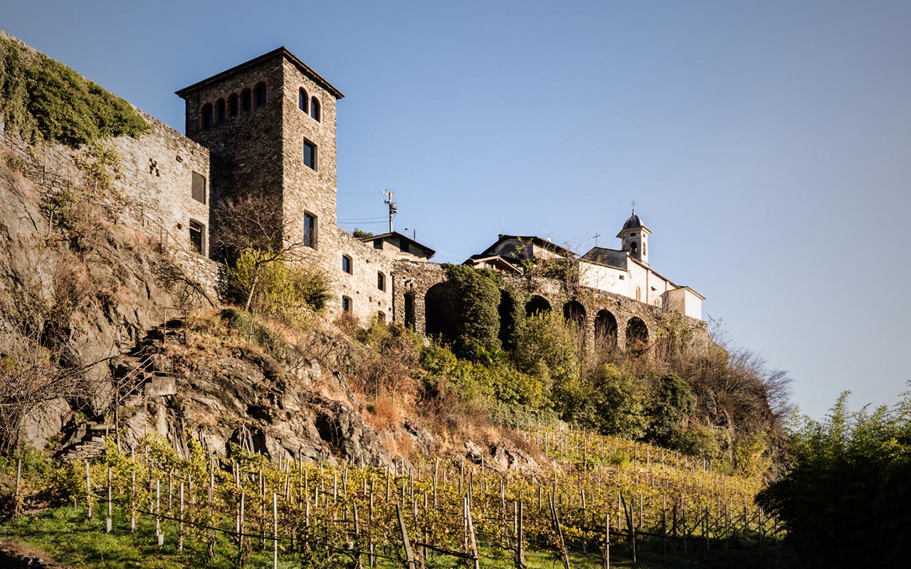
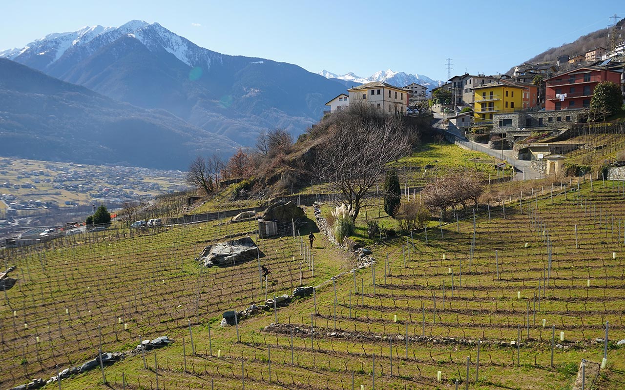
A suggestive trekking experience among the vineyards of Valtellina.
11 itineraries to discover the Nebbiolo of the Alps.
2,500 kilometres of dry stone walls support the viticulture in Valtellina. An extraordinary succession of terraces criss-cross the valley, the result of a harmonious relationship between man and nature. Strada del Vino e dei Sapori della Valtellina and Comunità Montana Valtellina di Sondrio have created a network of 11 itineraries among rows of vines and suggestive views, to discover Nebbiolo delle Alpi and its producers.
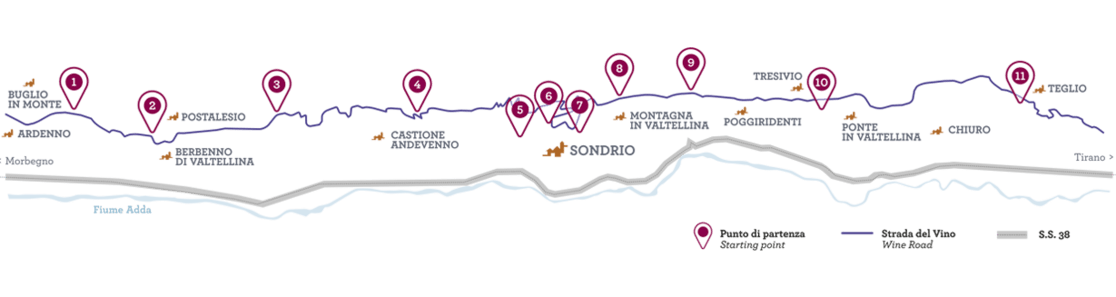
1. Anello Maroggia
From: Pedemonte, campo sportivo
Time: 2:10 h
Distance: 6 km
Altitude: +/- 356 m
Difficulty: Medium
2. Anello Pendeggio
From: Berbenno, Via Roma
Time: 2:00 h
Distance: 6,2 km
Altitude: +/- 217 m
Difficulty: Medium
3. Anello Caldenno
From: Postalesio, Via Roma
Time: 1:50 h
Distance: 6 km
Altitude: +/- 246 m
Difficulty: Easy

4. Anello Sassella Incisioni
From: Piatta, Chiesa S. Luigi
Time: 1:10 h
Distance: 3,1 km
Altitude: +/- 189 m
Difficulty: Medium
5. Anello Sassella Santuario
From: Sondrio, Via Valeriana
Time: 1:50 h
Distance: 5,8 km
Altitude: +/- 237 m
Difficulty: Medium
6. Anello Sassella Borghi
From: Sondrio, Piazza Garibaldi
Time: 1:50 h
Distance: 5,6 km
Altitude: +/- 260 m
Difficulty: Easy
7. Anello Cassandre
From: Sondrio, Palazzo Martinengo
Time: 1:10 h
Distance: 3,8 km
Altitude: +/- 188 m
Difficulty: Easy


8. Anello Grumello
From: Sondrio, Castel Masegra
Time: 2:00 h
Distance: 6,8 km
Altitude: +/- 273 m
Difficulty: Easy
9. Anello Grumello Castello
From: Montagna in Valt., Via S. Antonio
Time: 1:40 h
Distance: 4,4 km
Altitude: +/- 276 m
Difficulty: Easy


10. Anello Inferno
From: Tresivio, S.P. 21 km 5
Time: 1:30 h
Distance: 4,2 km
Altitude: +/- 211 m
Difficulty: Easy
11. Anello Valgella
From: Teglio, San Giovanni
Time: 2:10 h
Distance: 6,9 km
Altitude: +/- 318 m
Difficulty: Easy